Geodetiska GPS-mätningar vid Svea
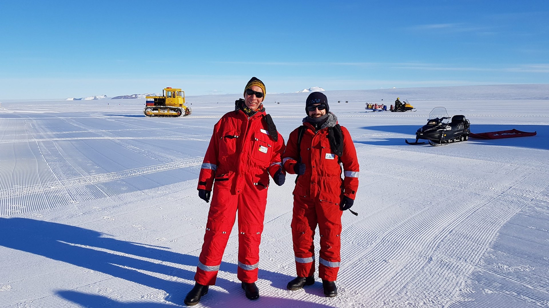
 Lutz Eberlein och Eric Buchta från Technische Universität Dresden befann sig i Antarktis 14 januari till 26 februari. Forskarna genomförde bland annat underhållsarbete av den utrustning som används för geodetiska GPS-mätningar och som finns på forskningsstationen Svea. Foto: Privat
Eric Buchta och Lutz Eberlein från Technische Universität Dresden har genomfört geodetiska GPS-mätningar på berggrunden i området Heimefrontfjella (Dronning Maud Land).
De granskade de berggrundsmarkeringar som installerades under säsongen 2004/2005. En av dessa markeringar ligger nära den svenska forskninsgstationen Svea som besöktes vid två tilfällen, 28 januari och 3 februari. Eric Buchta och Lutz Eberlein övernattade även på Svea vid ett tillfälle. I samband med detta genomförde de också underhållsarbete på GPS-utrustningen och sesismometern vid stationen. Det innebär att kontrollera att alla tekniska komponenter fungerar, och vid behov byta ut trasiga delar.
Rapport från forskarnas arbete
We, Eric Buchta und Lutz Eberlein from Technische Universität Dresden, conducted geodetic GPS-measurements on bedrock in the area of the Heimefrontfjella (Dronning Maud Land). Therefore, we revisited bedrock markers that were initially installed in the season 2004/2005. One of the desired GPS markers is close to SVEA station, which we gratefully used for a one-night stay, while we also maintained the GPS equipment and seismometer at the station. Which means we checked for the proper functions of all technical components (and replaced broken parts if necessary).
Geodetic GPS allows us to determine a position, just like normal GPS, but on a millimetre level. Comparing the determined coordinates from 2004/2005 with the ones taken this season enables us to derive coordinate changes (especially the height component) of the solid earth.
Those height changes result from the reaction of the solid earth to recent load changes due to ice mass variations and the so-called GIA-effect (glacial isostatic adjustment) – the usually slow (hundreds or thousands of years) reaction of the solid earth to past ice mass changes. Our data will contribute to the further understanding of the GIA-effect as it is an essential component to consider when evaluating present-day ice mass changes in Antarctica. We expect changes of the vertical coordinate component of just a few millimetres per year in the region.
The GIA-Effect is also well known and observable in Fennoscandia as a result of the deglaciation after the last ice age with a peak uplift of about 1 cm per year in centre of the former ice sheet (central Sweden).
Om forskningsprojektet
Forskningsrojektet Regional Geoid and Gravity Field from a Combination of Airborne and Satellite Data in Dronning Maud Land, East Antarctica är ett samarbetsprojekt mellan Technische Universität Dresden Dresden och AWI Bremerhaven.
Mer forskning om GPS-mätningar i Antarktis
I samband med The Scientific Committee on Antarctic Research, Geodetic Infrastructure of Antarctica (SCAR-GIANT), har även Sverige genomfört GPS-mätningar vid Svea under fältsäsongen 2004/2005. Läs mer på Polarforskningsportalen. Även vid den finska Antarktisstationen Aboa genomförs gravitationsmätningar. Läs mer om forskningen på Research Gate.
