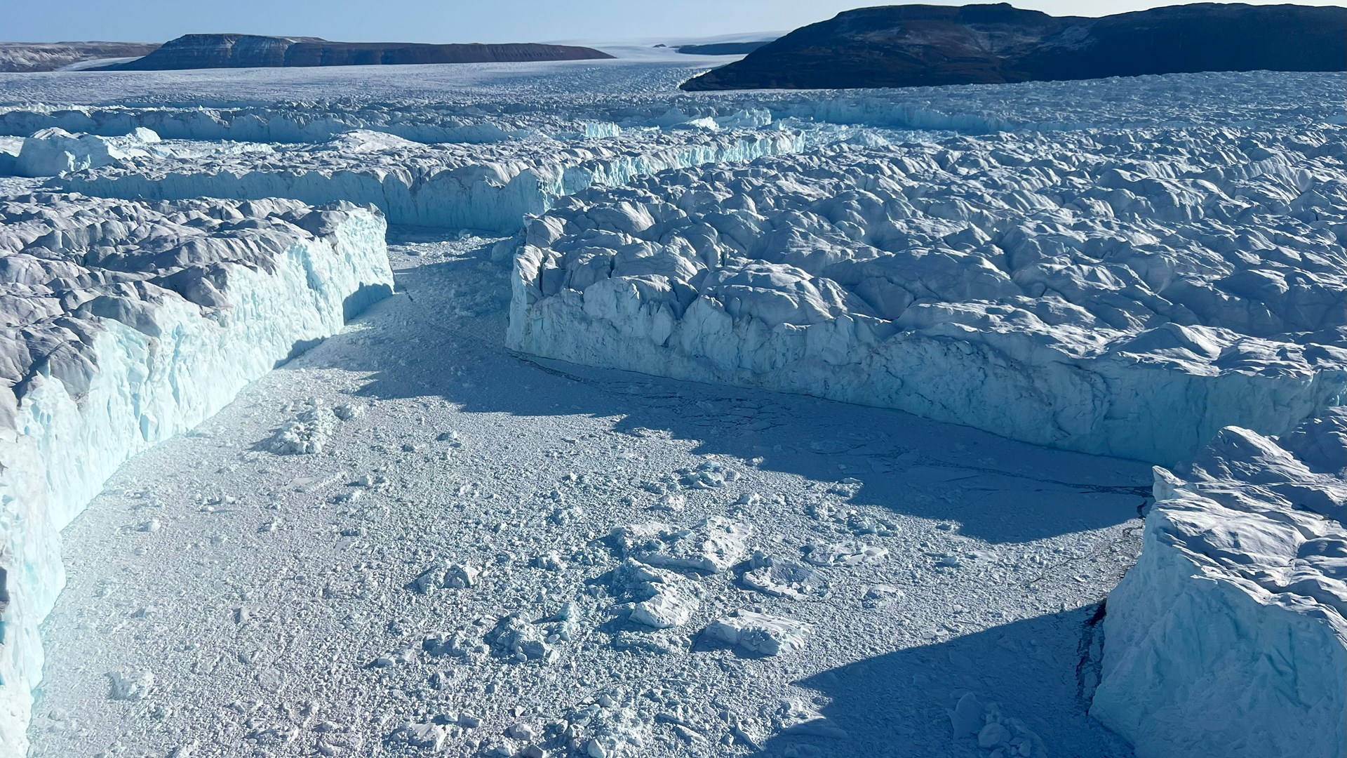
Wall of icebergs in front of the Ostenfeld Glacier
 Large icebergs in front of the Ostenfeld glacier font. Photo: Nina Kirchner.
2024-09-05, Lincoln Sea - heading towards Petermann Fjord
Now that we for a few days will focus exclusively on marine activities, there is time to write about our investigations of the glaciers C.H. Ostenfeld and Ryder and about our plans to visit the Petermann Glacier before we finish the expedition in Pituffik in about two weeks.
The Ostenfeld, Ryder, and Petermann glaciers are adjacent to each other along the northern coast of Greenland and, for a long time, were some of the last to have floating ice tongues that stretched several miles along each fjord (Victoria Fjord, Sherard Osborn Fjord, and Petermann Fjord). From the Petermann Glacier, large icebergs have calved on several occasions in the last decade – the ice tongue became up to 30 kilometers shorter – while the Ryder Glacier Tongue has been more stable because it is more protected from warm water entering Sherard Osborn Fjord. We know this because of our investigations during previous expeditions with the icebreaker Oden (Petermann-2015 and Ryder-2019).
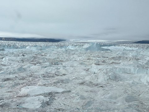
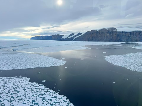
When we came to Victoriafjorden with Oden in mid-August, the Ostenfeld Glacier was an area we had not seen before with our own eyes, we had only seen satellite images. In the Victoria Fjord, there was so much pack ice, large ice floes, and icebergs that had calved from the Ostenfeld Glacier that Oden couldn't get close to the Ostenfeld glacier front. It only showed up during our first reconnaissance flight with the helicopter. We were completely overwhelmed by what we saw: the front lay behind a zone more than a mile wide of icebergs 30 meters high and several hundred meters wide and long, with narrow strips of sea water in between, which could usually only be discerned under a cloud of what looked like ice flakes but were pieces of ice the size of trucks. It can be difficult to understand sizes in this environment!

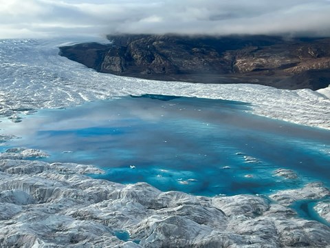
We investigated the Ostenfeld glacier, but with the help of a so-called ice radar, to find out, among other things, what the bedrock under the ice looks like, how it affects the ice flow, and how the glacier's thickness varies. We have also mapped the front area using a drone to get a detailed picture of the glacier's cracked surface. The first analysis of collected data shows that the glacier front is on the seabed and is a total of about 300 m high, but only about 30 meters is visible above the water surface. The glacier's surface looks like a sea of cracks, partially filled with water. Large lakes have formed on the glacier's surface, meaning that some melting has occurred at the surface, but the glacier is compactly frozen at greater depths.

After completely problem-free operations of the ice radar at the Ostenfeld Glacier, we continued with similar measurements at the Ryder Glacier, where the focus was to locate the otherwise inaccessible so-called grounding area, i.e. where the glacier begins to lift from its underlying bedrock to transition to just a floating glacier tongue, with fjord water and the seabed below. Initial analyses suggest that the grounding zone has moved further landward and that meltwater channels on the underside of the ice—previously unreported, but we can see indications of in our newly collected data—may have played a role in this retreat. The front of the Ryder glacier looks very tidy compared to the front of the Ostenfeld glacier😊.
Now we are going towards Petermann to supplement with ice radar surveys there too!
Text by Nina Kirchner, Co-Chief Scientist and Professor of glaciology at Stockholm University


