Hans Island
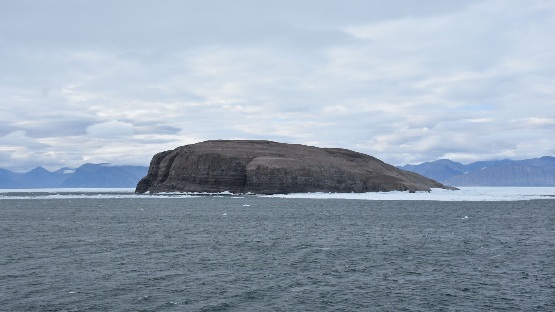
 Hans Island, north-west of Greenland. Photo: Åsa Lindgren.
2024-08-12, Hans Island (80.82806°N 66.45972°V)
Hans Island is a small island in the middle of the Nares Strait that has long been the subject of a border dispute between Denmark and Canada. However, in 2022, the countries agreed to draw a land border straight across the island. The island's highest point is 128 meters above sea level, with a diameter of about 1 kilometer. Today, the western half is Canadian, and the eastern half is Greenlandic. The island is named after the Greenlandic guide Hans Hendriksen, who participated in an American polar expedition led by Charles Francis Hall from 1871 to 1873.
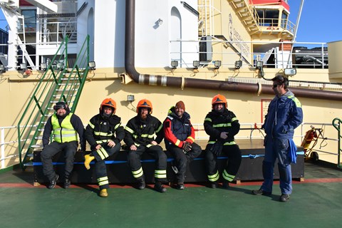
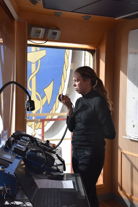
During our journey north, we use helicopters to allow the researchers to access the field. During takeoff and landing, Oden's firefighting team is mobilized, and sometimes, there is a bit of a wait while the other helicopter lands. On board Oden, the meteorologists also act as air traffic controllers, and we are very grateful for our collaboration with the Air Force's meteorologists, who are very experienced with helicopter flights.
Text by Åsa Lindgren


