The bedrock can tell how Antarctica has changed
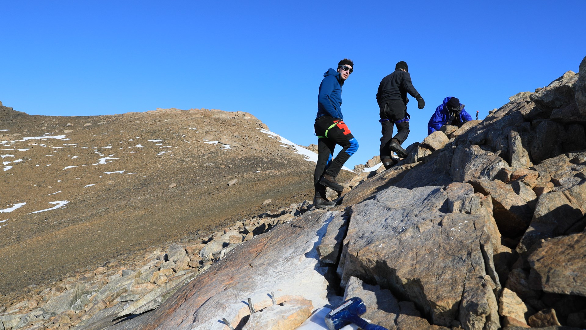 In the field, the group always attempts to sample both bedrock (in the foreground) and nearby overlying boulders (sampling ongoing in the background). Ola Fredin, NTNU, Norway, Nat Lifton, Purdue University, USA, and Jennifer Newall, Stockholm University. Photograph by Ola Fredin, MAGIC-DML 2016/17
Two research projects are participating during this year's Antarctic Expedition DML 2021/22, which the Swedish Polar Research Secretariat organises. One of these projects is looking for answers to how Antarctica will develop in a future warmer climate. Part of the answer lies in bedrock and moving blocks that the ice sheet brought with it.
‒ The most significant uncertainty in the IPCC's forecast of sea level changes is how much melting ice sheets contribute, especially the Antarctic ice sheets. Getting better control of this is important for society, especially for coastal communities, says Arjen Stroeven, professor of Physical Geography at Stockholm University and research leader for the MAGIC-DML project.
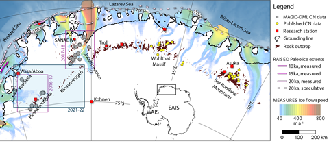
MAGIC-DML stands for Mapping, Measuring and Modeling Antarctic Geomorphology and Ice Change in Dronning Maud Land. It is an international collaboration with researchers from Sweden, Norway, the United Kingdom, Germany and the United States. The common interest is to study variations in the thickness and dynamics of the Antarctic ice sheet.
‒ We are looking for answers to the question of how fast, and when, the surface of the ice sheet has changed in geological time. We test the hypothesis that ice grows on the plateau and melts along the edge where it meets the sea during global warming times (interglacials) and that it shrinks on the plateau but grows along the edge during global cold times (glacials). We can simulate this through computer models, but these models must be calibrated against knowledge from field studies. Such a "calibrated" computer model provides the best conditions for forecasting how Antarctica will develop in a warmer future climate.
The most significant uncertainty in the IPCC's forecast of sea level changes is how much melting ice sheets contribute, especially the Antarctic ice sheets. - Arjen Stroeven
A continuation of previous research
This year's expedition is linked to two previous expeditions within MAGIC-DML that were conducted in the 2016/17 and 2017/18 seasons. In addition to Arjen Stroeven, Jane Lund Andersen, Postdoc at Aarhus University in Denmark and Martim Mas e Braga, PhD student at Stockholm University, will also participate. Now the researchers will take additional samples in areas that were not visited before, but were already planned in 2016/17 and 2017/18.
‒ We will take samples of moving blocks and bedrock. By determining the age of these samples, we know when the ice was last so thick that it covered the rock or when it left the moving block behind.
The areas to be visited in Antarctica are Vestfjella, Kirwanveggen, Mannefallknausane and Heimefrontfjella. The three researchers will travel up to 300 km from the Wasa research station by snowmobile. Cooking and overnight take place in arks. This is the first time that Arjen Stroeven and his two colleagues live in these.
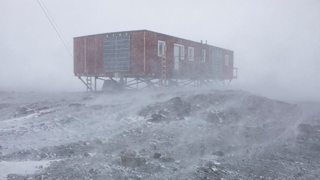
‒ The arks make overnight stays safer and more comfortable. We have heat and can cook, and charge the electronics indoors. Setting up camp and taking it down is faster, says Arjen Stroeven.
A long ark expedition
The researchers will be on the ice for about two months in rounds. Three people from the Swedish Polar Research Secretariat will also participate during the fieldwork, including a doctor.
‒ The longest tour lasts about 15 days and takes us to Mannefallknausane and Heimefrontfjella with a visit to the station Svea. We have also planned for eleven days in Kirwanveggen and six days in Vestfjella.
During the field course that the Swedish Polar Research Secretariat recently held at Abisko Scientific Research Station, the expedition participants received theoretical knowledge and practical training before their Antarctic stay.
‒ As a group, we must be very focused. Everyone has their role. It is a demanding environment with cold even though it is high summer then. There are dangers associated with cracks that arise through the movement of ice and rockfalls. Group dynamics and trust in each other will be very important components for safe implementation, Arjen Stroeven concludes.
Facts
The Antarctic landscape under the ice
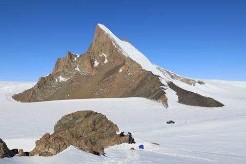
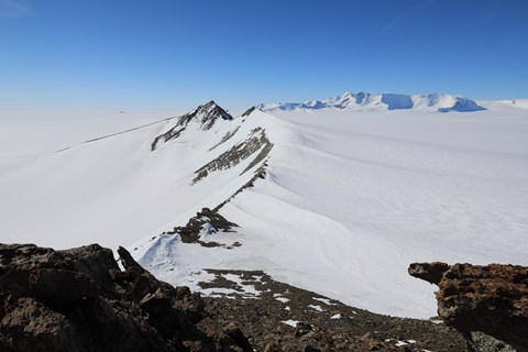
Almost all of Antarctica is covered by ice. Under the ice, there is a landscape with hills, valleys, mountains, and plains similar to the landscape found on other continents. When the ice cover shrinks, the landscape is gradually exposed under the ice, and the first thing that comes out of the ice are the peaks of the very highest mountains, so-called nunataks. The Nunataks provide information that can help show how thick the ice sheet was during the last ice age, a maximum of 21,000 years ago and how much it has decreased in volume until today.
The mountains in Dronning Maud Land in Antarctica are primarily covered by the East Antarctic ice sheet and is one of the least studied areas ‒ even though a reduction in the ice sheet has been established.
Age determination of bedrock and moving blocks
The Earth is constantly exposed to cosmic radiation, that is, extremely energy-rich particles from space. The ice acts as a shield against cosmic radiation, but when the ice sheet shrinks and the nunataks are exposed, the chemical composition of minerals in the rock changes and particular substances, cosmogenic isotopes, are formed in quartz, among other things.
By measuring the concentration of cosmogenic isotopes in moving blocks, it is possible to find out how long the nunataks have been ice-free and exposed to cosmic radiation. In this way, it is possible to see how much, and at what rate, the Antarctic ice sheet has shrunk.
The samples from this year's field season, together with satellite images and topographic models, will be used to test and improve numerical inland ice models over Antarctica. The models show, among other things, how the East Antarctic ice sheet and sea level are affected by climate change, both historically and in the future.

Research leader
Arjen Stroeven, Professor of Physical Geography at Stockholm University
Researchers
- Jane Lund Andersen, Postdoc, Aarhus University, Denmark
- Martim Mas e Braga, PhD student, Stockholm University
Financiers
MAGIC-DML is supported by
- Stockholm University
- Norwegian Polar Institute/NARE
- National Science Foundation
- Swedish Research Council
- German Research Foundation
- German Aerospace Center

